search
Relief map of Spain
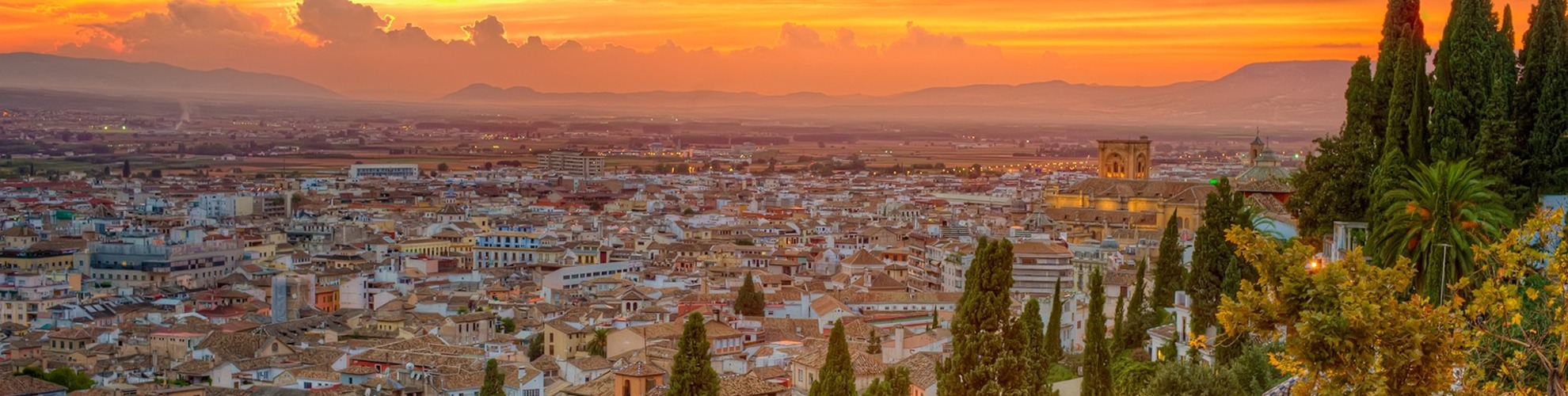
Map of Spain relief. Relief map of Spain (Southern Europe - Europe) to print. Relief map of Spain (Southern Europe - Europe) to download. Spain has some of the oldest as well as some of the youngest rocks of Europe. The entire western half of Iberia, with the exception of the extreme south, is composed of ancient (Hercynian) rocks; geologists refer to this Hercynian block as the Meseta Central as its shown in the relief map of Spain. It constitutes a relatively stable platform around which younger sediments accumulated, especially on the Mediterranean side. In due course these sediments were pushed by major earth movements into mountain ranges. The term meseta is used by geographers and local toponymy to designate the dominating relief unit of central Iberia. As a result, the Meseta Central defined by relief is subdivided by geology into a crystalline west (granites and gneisses) and a sedimentary east (mainly clays and limestones).
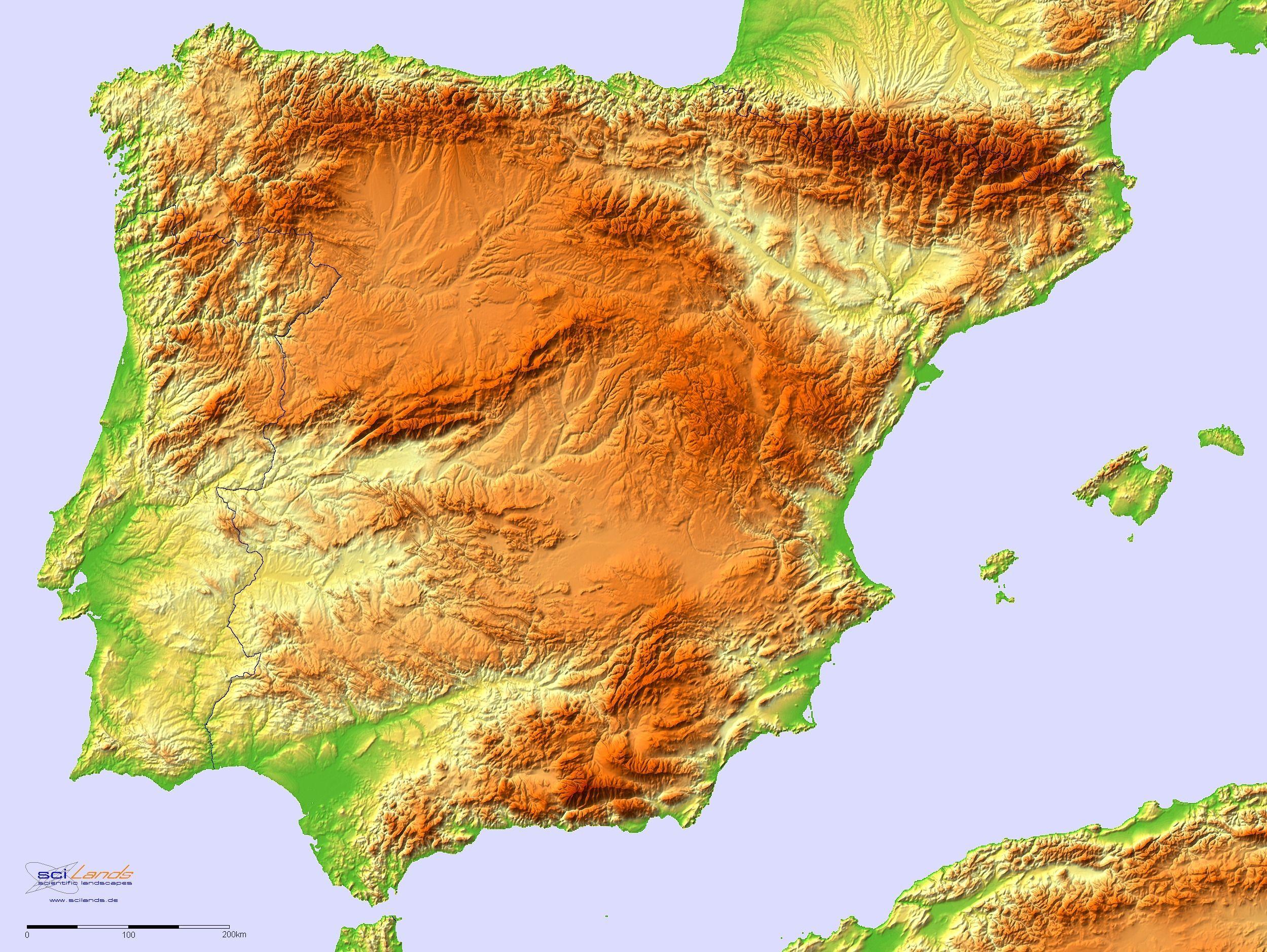
The Pyrenees run across the neck of the peninsula and form Spain’s border with France. There are two major depressions, that of the Ebro River in the northeast and that of the Guadalquivir River in the southwest. In the southeast the Baetic Cordillera (Sistema Penibético) runs broadly parallel to the coast to merge with the mountains of the Iberian Cordillera. Along the Mediterranean seaboard there are coastal plains, some with lagoons (e.g., Albufera, south of Valencia). The outer zones of the Pyrenees are composed of sedimentary rocks as its mentioned in the relief map of Spain. Relief on the nearly horizontal sedimentary strata of the Ebro depression is mostly plain or plateau, except at the eastern end where the Ebro River penetrates the mountains to reach the Mediterranean Sea.
The northern Meseta Central, which has an average elevation of 2,300 feet (700 metres), corresponds to the tablelands, or plateau, of Castile and León, although it is in fact a basin surrounded by mountains and drained by the Douro (Duero) River. The southern Meseta Central (the Meseta of Castile–La Mancha) is some 330 feet (100 metres) lower as you can see in the relief map of Spain. Its relief is more diverse, however, owing to heavy faulting and warping caused by volcanic activity around the Calatrava Plain and to two complex river systems (the Guadiana and the Tagus) separated by mountains.