search
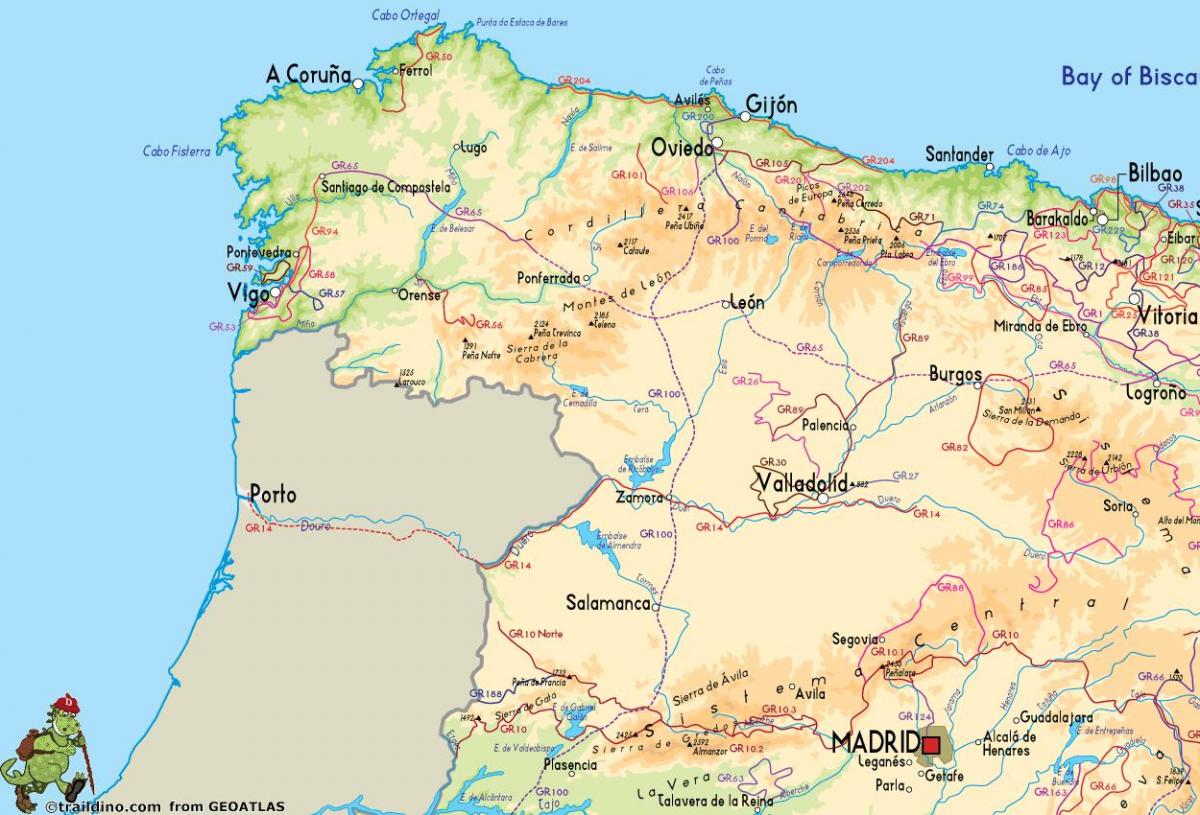
Map of western Spain
Map of Spain western. Map of western Spain (Southern Europe - Europe) to print. Map of western Spain (Southern Europe - Europe) to download. Extremadura, a wide region located in western Spain, just 2 hours from Madrid. Incredible ancient monuments, many nature reserves, low population and rural traditions. Since first settlers arrived to this land (many thousands years ago) this region was always a very valued place, located in an strategic area, with a relatively smooth climate and a perfect land for farming and stockbreeding. Extremadura has two provinces as its shown in the map of western Spain: Cáceres (north) and Badajoz (south). And there are many regional zones, each of one with its own culture, traditions, history, monuments, gastronomy. Extremadura is the region of Western Europe with the highest percentage of Important Bird Areas, so it is the perfect place for birdwatching.
Western Spain fall in the provinces of Salamanca, Zamora, Caceres and Badajoz. This part of the country, bordering the frontier with Portugal, is relatively little visited by foreigners but it offers some great travel experiences. Caceres and Badajoz comprise the autonomous historic community of Extremadura, whose capital is Merida, where several of the Spanish conquerors of the New World were born, including Cortes, who took Mexico. One of the major geographical features of this generally hot, dry area is the River Tagus, running through the Tagus National Park as its mentioned in the map of western Spain. Another outstanding area for wildlife is the Monfrague Reserve. Western Spain offers an exceptionally interesting range to choose from: guesthouses (hostals), restaurants-with-rooms and small hotels. Whichever, they all have the special qualities of hand-picked character and charm.


