search
Spain ports map
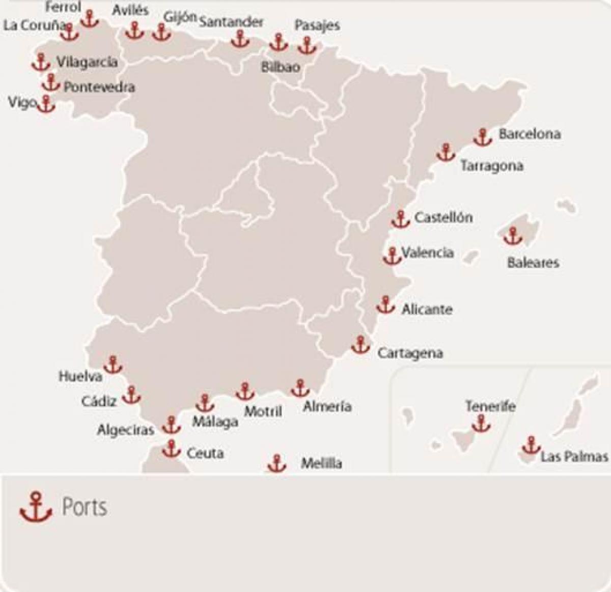
Ferry ports in Spain map. Spain ports map (Southern Europe - Europe) to print. Spain ports map (Southern Europe - Europe) to download. Spain has long been synonymous with efficient and expansive sea trade, an association which has historically brought prosperity to the European nation. With well maintained ports and consistent growth in technology, equipment and expertise the ports of Spain will continue to hold the key to trade, partnership and economic growth across the region. Algeciras is one of the largest ports in Spain. The port sits along the 5,000km of coastline that is the country of Spain just like her sister ports as its shown in Spain ports map. Even though this is the largest port in Spain, it is the third largest on the Mediterranean. Worldwide, it is the ninth largest. The port is located in Andalucia, in the province of Cadiz, and is the epicenter for trade for tobacco, fishing, agriculture and oil. It sees estimated cargo traffic of up to 70 million tonnes annually.
The fifth busiest port in all of Europe is also the second largest in Spain: the port of Valencia. This port is impressive in size with an annual traffic of 57 million tones in cargo capacity. The container volume on an annual basis was 4.2 million TEUs in 2010 and this number has grown over the last decade. Barcelona is situated on the Northeastern coast of Spain and is located in the Catalan Province of the country as its mentioned in Spain ports map. This port has been in existence for over 2000 years and it is still going strong in terms of trade and port services. Port bilbao, located in the Bilbao Abra Bay in Basque country this port is also called the exterior port. This port has been popular since the medieval times and is associated with the steel and iron trade of the time.


